
Galveston ZIP Service Inventory
This working Galveston County service-ZIP inventory comes from the USPS lookup route and official county ZIP-map context. It identifies postal labels associated with county research, not precise delivery polygons or municipal lines. USPS must verify an individual street address. A ZIP code and a city label are postal designations, so neither proves a person at an address or establishes a municipality. Station names and exact county coverage were not exposed in one official source for every row.
| ZIP | Areas Covered | Post Office | Notes |
|---|---|---|---|
| 77510 | Santa Fe area | USPS city/state lookup required | Mainland; separate the city limit from the postal label |
| 77517 | Santa Fe area | USPS lookup required | Mainland and rural service-area candidate |
| 77518 | Bacliff area | USPS lookup required | Bay-area label; check county boundary and address |
| 77539 | Dickinson, San Leon, and nearby mainland areas | USPS lookup required | One ZIP can span several community labels |
| 77546 | Friendswood area | USPS lookup required | Service area extends beyond a simple city assumption |
| 77549 | Friendswood PO Box or unique route | USPS lookup required | Verify PO Box or unique use by full address |
| 77550 | Galveston island | Galveston postal service | Historic and downtown island addresses |
| 77551 | Galveston island | Galveston postal service | Central and south island service; county offices use this ZIP |
| 77552 | Galveston PO Box | USPS lookup required | Mailing designation, not a physical residence location |
| 77553 | Galveston PO Box | USPS lookup required | PO Box or route distinction; city association materials use this ZIP |
| 77554 | Galveston and West Galveston | USPS lookup required | West island or peninsula service; check municipal and county line |
| 77555 | Galveston unique or institutional service | USPS lookup required | Verify address-specific delivery |
| 77563 | Hitchcock area | USPS lookup required | Mainland coastal community |
| 77565 | Kemah and Clear Lake Shores | USPS lookup required | Bay-area labels and municipal boundaries can differ |
| 77568 | La Marque | La Marque postal service | Mainland |
| 77573 | League City | League City postal service | North County growth area; city-label boundaries can differ |
| 77574 | League City PO Box | USPS lookup required | PO Box or route distinction |
| 77590 | Texas City | Texas City postal service | Mainland; city and county records often use this ZIP |
| 77591 | Texas City | Texas City postal service | GCAD official office address uses this ZIP |
| 77592 | Texas City PO Box | USPS lookup required | PO Box or route distinction |
| 77617 | Gilchrist PO Box | USPS lookup required | Bolivar Peninsula candidate; verify full address |
| 77623 | High Island PO Box | USPS lookup required | Bolivar and upper-peninsula candidate |
| 77650 | Port Bolivar PO Box | USPS lookup required | Peninsula mailing or route behavior must be checked |
PO Box and unique routes remain mailing-only until an official source verifies a physical delivery address. Preserve that distinction in research notes, especially when an address appears in a county, tax, or archival record.
Verify a Galveston Delivery ZIP
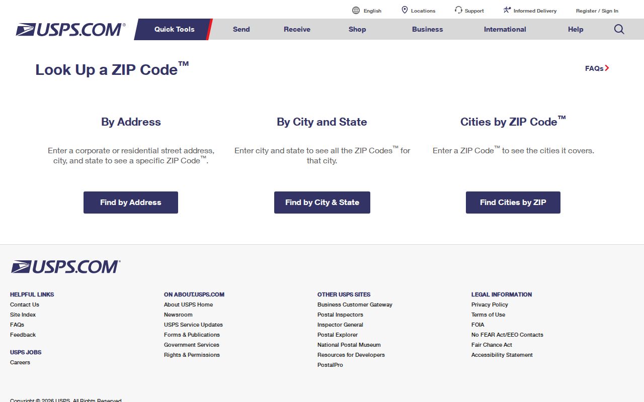
The USPS lookup is the verification route for delivery information. It offers By Address, By City and State, and Cities by ZIP modes. In By Address, Company is optional; Street Address is required; Apt/Suite/Other is available; City and State are used; ZIP is optional; then select Find. The City and State mode requires those two fields. Cities by ZIP requires a ZIP. USPS warns that a result does not confirm a person or organization at the address.
| By Address | Company optional; Street Address required; Apt/Suite/Other; City; State; ZIP optional; Find |
|---|---|
| By City and State | Enter city and state to obtain postal results. |
| Cities by ZIP | Enter a ZIP to view associated city labels. |
| Result meaning | Delivery data is not evidence that a named person or organization is present. |
The USPS ZIP Code Lookup supplies the address-verification interface used for this step.
Use the returned delivery form alongside the original printed address. If they differ, retain both values and identify which source supplied each one.
Galveston Island ZIP Addresses
Island service includes 77550, 77551, 77552, 77553, 77554, and 77555 in the working inventory. The first two are associated with Galveston island service, while 77552 and 77553 are PO Box designations. The inventory treats 77554 as Galveston or West Galveston service and 77555 as a unique or institutional candidate that needs address-level confirmation. A postal label alone does not settle whether a location is inside a city boundary.
Historic address work adds another reason for caution. Galveston records can reflect post-storm rebuilding, grade raising, and changed waterfront context. A directory, deed, map, or parcel record should preserve its printed address and date. Use GIS and official parcel information for approximate jurisdiction and parcel geometry, not a delivery result by itself.
Galveston Mainland ZIP Service
The mainland and north-county rows include Santa Fe, Bacliff, Dickinson, San Leon, Friendswood, Hitchcock, Kemah, Clear Lake Shores, La Marque, League City, and Texas City labels. Several are explicitly described as areas where a ZIP can cover more than one community label or extend beyond a simple city assumption. That pattern fits Galveston County's mix of incorporated cities, unincorporated communities, bay areas, and fast-growing northern areas.
For example, 77539 is associated with Dickinson, San Leon, and nearby mainland areas, and 77565 is associated with Kemah and Clear Lake Shores. Friendswood and League City also have PO Box or unique-route entries in the inventory. Store the postal city, state, and ZIP as printed, then record the legal municipality or county separately when official GIS or parcel data identifies it.
Galveston Bolivar ZIP Service
Bolivar Peninsula research identifies 77617 for Gilchrist PO Box service, 77623 for High Island PO Box service, and 77650 for Port Bolivar PO Box service. The inventory labels each as a candidate or route that needs full-address verification. These are not interchangeable physical-location labels. A PO Box record is a mailing contact and should not be recast as a residence address.
Regional ZIP maps can help orient a peninsula search, but they are not current delivery verification. The NOAA and National Weather Service map referenced in the research is regional visual context. Use the USPS form for delivery and the official parcel or municipal source for jurisdiction. Keeping those purposes separate avoids a false match between a coastal place name and an actual address.
Galveston ZIP Boundaries and Cities
Galveston County combines a barrier island county seat, mainland corridors, bay communities, the Bolivar Peninsula, and northern suburbs. Mailing labels may name Galveston, Texas City, La Marque, Hitchcock, Santa Fe, Dickinson, Kemah, League City, Friendswood, or another coastal community. The same ZIP or city label may not equal a legal municipal jurisdiction. County records can also use an address for a tax district, a court venue, or a historical community rather than a current city boundary.
- ZIP and ZIP+4
- A ZIP identifies a delivery area. ZIP+4 adds a smaller delivery segment and is not a municipal boundary.
- PO Box ZIP
- A postal designation for box delivery. Treat it as mailing-only unless another official record supplies a physical address.
- Unique ZIP
- A designation associated with a particular delivery arrangement or institution. Verify the actual address before drawing a location conclusion.
- Carrier route
- A delivery grouping used for mail handling. It is not a record of who is present along the route.
Search Galveston ZIP Records Carefully
GCAD accepts address and street information and may display ZIP in parcel results, but the captured research does not confirm a ZIP-only public search. Tax, Accela, and GIS results can include ZIP details, while VoteTexas guidance may use ZIP with a name, county, and date of birth for personal registration-status checking. None of those channels exposes a verified ZIP-wide public list of people. They describe parcels, records, or personal status in different ways.
- Verify the complete delivery address with USPS and keep the returned form with the original printed address.
- Use GCAD address or street fields to locate a parcel, then record the situs and mailing fields separately.
- Check GIS for the parcel's approximate jurisdiction, legal description, and geometry.
- Use Accela only for its address or permit record context, recognizing that named parties can have different roles.
- Use a name-and-phone lookup for an individual question, then move to the Galveston street-address directory for a street-level search.
A ZIP is a useful delivery key, not a shortcut to a conclusion about every person connected with that postal area. Match the record type to the question and label the relationship shown by the source.
Galveston ZIP Fields in Accela
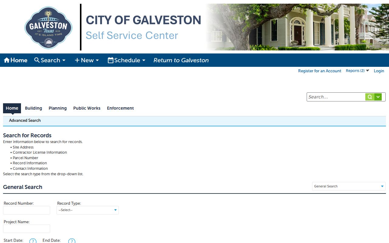
City Accela planning search includes a ZIP field among its address and record criteria. The captured planning interface lists first name, last name, business name, business license number, street number range, direction, street name and type, unit type and number, parcel number, city, state, ZIP, country, additional criteria, and date. Registration or login is required for some actions, and the exact required markers and complete option list were not captured.
| Field Group | Captured Fields | Use |
|---|---|---|
| Name or organization | First name, last name, business name, business license number | Narrow a planning record when an exact address is not known |
| Street address | Street number range, direction, street name and type, unit type and number | Find an address-related planning record |
| Location | Parcel number, city, state, ZIP, country | Compare the printed postal data with the record context |
| Other criteria | Additional criteria and date | Limit a search by the available record details |
The City Accela planning search provides the field set documented in the research.
A permit record can date a project or identify a record party. It cannot by itself establish who was present at the address.
Galveston ZIP Mailing Evidence
GCAD, the Tax Office, county GIS, City Accela, and the County Clerk each record a different relationship to an address. A GCAD parcel can show owner, situs, mailing destination, value, exemptions, legal description, and deed-history details. The Tax Assessor-Collector does not change GCAD ownership data. A deed is the recorded-document route, while a permit can identify a project record. Keep the role and custodian beside every postal value.
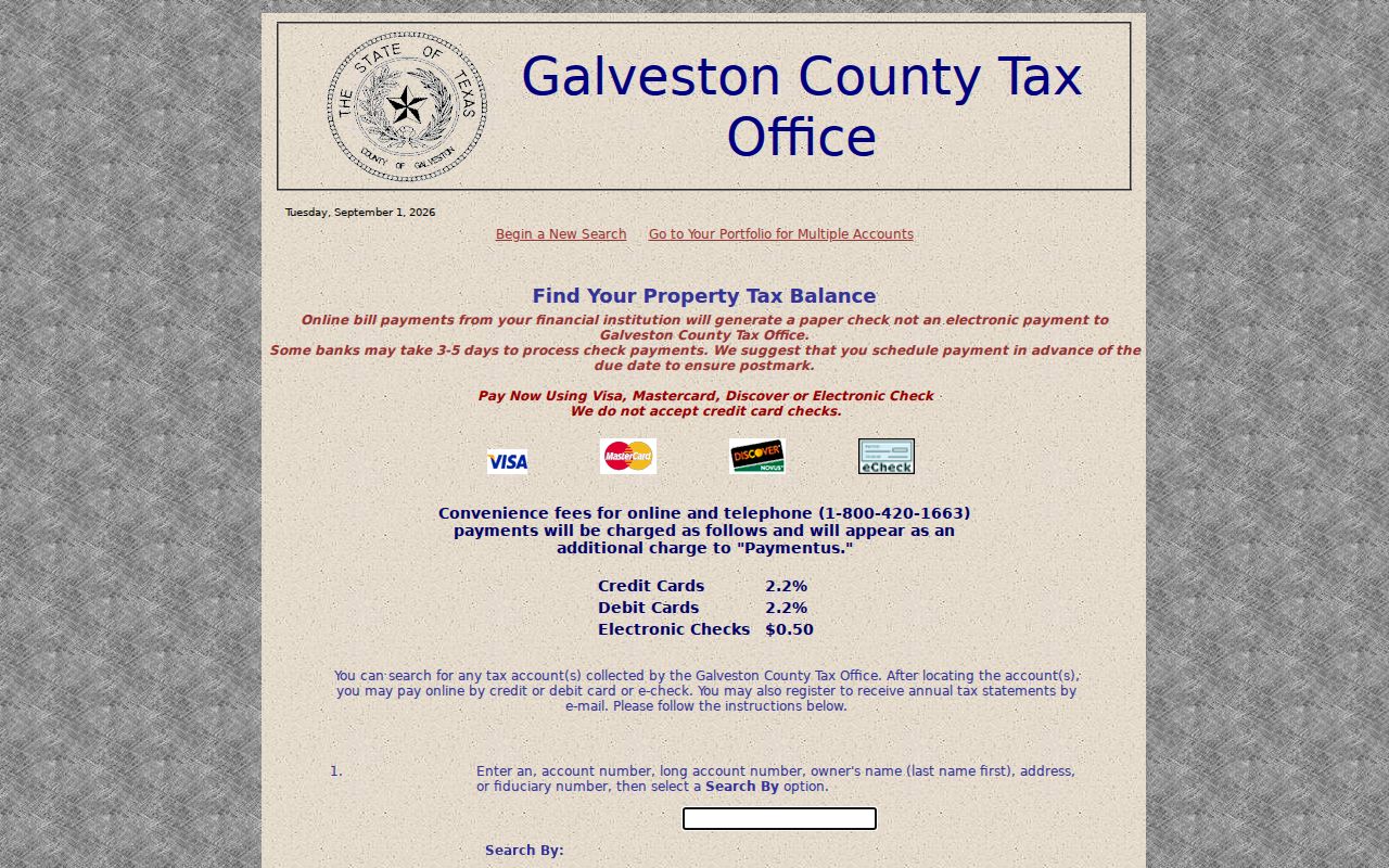
The Galveston tax portal is one address and account research channel that may display ZIP as part of the record context.
Compare the situs address, mailing destination, legal description, and postal verification rather than merging them into one unsupported address. That practice is especially important for PO Boxes, unique service routes, and county records with a Galveston mailing label.